Technical Information
The pySTEPS-BE products are stored per nowcast run in a netCDF file following the CF 1.7 conventions. Each netCDF file contains 3 variables:
lon[x,y]: a 700 x 700 matrix containing the longitude of each gridpoint [degrees East].
lat[x,y]: a 700 x 700 matrix containing the latitude of each gridpoint [degrees North].
precip_intesity[x,y,time,ens_number]: a 700 x 700 x 71 x 48 array containing the instantaneous precipitation rate [mm h-1].
and 4 dimension:
ens_number: a vector of size 48 containing the ensemble member number
time: a vector of size 71 containing the forecast time [seconds since start of the forecast]
y: a vector of size 700 containing the y coordinate in the Cartesian coordinate system [m]
x: a vector of size 700 containing the x coordinate in the Cartesian coordinate system [m]
The PROJ string for the coordinate reference system is:
+proj=lcc +lat_1=49.83333333333334 +lat_2=51.16666666666666 +lat_0=50.797815 +lon_0=4.359215833333333 +x_0=649328 +y_0=665262 +ellps=GRS80 +towgs84=0,0,0,0,0,0,0 +units=m +no_defs
The extent of the output domain is shown here:
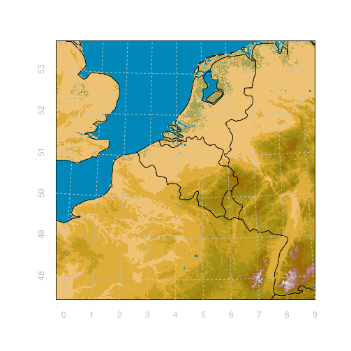
The pySTEPS-BE output domain.